Easy, Scenic, and Bus-Accessible: Hiking Mt. Dashanmu in Kenting
Listed as one of the Minor 100 Peaks, Mt. Dashanmu (Dashanmushan, 大山母山) is a short and easy hike in Kenting
that rewards you with one of the most stunning views of the Eluanbi Peninsula. The hike takes around 2 to 3
hours to complete, and the trailhead is conveniently located near a bus stop.

If you're spending a few days in Kenting and looking to explore on foot, Dashanmushan is a must-do trail.
Disclaimer:
All content is for inspiration only. Use Taiwan Hikes' suggestions at your own risk. We are not responsible for any losses, injuries, or damages.
All content is for inspiration only. Use Taiwan Hikes' suggestions at your own risk. We are not responsible for any losses, injuries, or damages.
Table of Contents:
- Trail Overview: Mt. Dashanmu (Dashanmushan, 大山母山)
- How to Get to Dashanmushan, Transport, GPX, and Trail Map
- Details of Dashanmushan Trail: Views of Mt. Dajian and the Eluanbi Peninsula
- What to Do Nearby: Attractions Around Kenting
- Getting Around Kenting: Bus Guide and Public Transport Tips
- Related Posts
Trail Overview: Mt. Dashanmu (Dashanmushan, 大山母山)
Trail Name: Mt. Dashanmu or Dashanmushan 大山母山
Distance: 3.2 km (2 miles)
Route type: Out and Back
Days/Hours Needed: 2-3 hours
Total Ascent/Descent: 205m/205m
Best Time to Go: All seasons except during typhoons, heavy rains, or earthquakes
Permits: Not required
Difficulty Level:
Distance: 3.2 km (2 miles)
Route type: Out and Back
Days/Hours Needed: 2-3 hours
Total Ascent/Descent: 205m/205m
Best Time to Go: All seasons except during typhoons, heavy rains, or earthquakes
Permits: Not required
Difficulty Level:
Peaks or Places to Reach
- Mt. Dashanmu, 325 meters (1,066 feet) above sea level, is listed as one of the Minor 100 Peaks in Taiwan.
- There's a Class One Triangulation Stone on the summit.

How to Get to Dashanmushan, Transport, GPX, and Trail Map
Buses to Tiaoshizi Bus Stop 跳石仔
- Kuo-Kuang Bus 9117: Kaohsiung Train Station to Kenting Xiaowan
- Kaohsiung Bus 9188: Kaohsiung Train Station to Eluanbi
- Pingtung Bus 101: Xiaowan → National Museum of Marine Biology
- Pingtung Bus 101A: Hengchun → Xiawanlitong via National Museum of Marine Biology and Aquarium
- Pingtung Bus 101B (only on the weekends): Eluanbi → Xiawanlitong via National Museum of Marine Biology and Aquarium
- Pingtung Bus 101C: Hengchun → Xiawan
- Pingtung Bus 101F (only on the weekends): Eluanbi → Hengchun Bus Station
- Pingtung Bus 102: Hengchun → Xiaowan (via Maobitou)
- Pingtung Bus 8248: Hengchun → Kenting Park (Kenting Forest Recreation Area)

GPX Track From My Hike
Click Menu in the map to download, print, or share the map.
You can see more options after clicking the Play button.
Click to change the speed to meet your condition.
You can see more options after clicking the Play button.
Click
to change the speed to meet your condition.
Planning a permit-free hike by bus?
Skip the research. This guide covers 41 relaxing, permit-free trails in every Taiwan county — with trailhead maps and the exact public transport to reach each one. Everything you need to just show up and hike.
Get all 41 trails + maps →Details of Dashanmushan Trail: Views of Mt. Dajian and the Eluanbi Peninsula
The Dashanmushan Trailhead is about 760 meters from a sign on Ping-E Highway (Provincial Highway 26).


When you arrive, you'll spot an old tomb near the entrance (I didn't take a photo), and if you're driving,
there's enough space nearby to park a few cars.

The trail itself is mostly flat but can be muddy, especially after rain. I noticed several animal footprints
along the way, which added a wild touch to the hike.

Most of the path winds through shaded forest, offering a peaceful, quiet atmosphere.

As you get closer to the peak, the trail opens up to stunning coastal views. From some of the exposed sections,
you'll see Maobitou in the distance.

When you reach the top of Dashanmushan, you're greeted with a breathtaking panorama of Kenting's icons— Mt.
Dajian, Eluanbi, and Frog Rock stretching out into the sea.

There's also a small junction near the peak with an open view facing Maobitou — I've marked this spot on the
map.

This trail may be short, but it's packed with scenic rewards — perfect for a relaxed half-day adventure in
Kenting.

What to Do Nearby: Attractions Around Kenting
Kenting isn't just about stunning beaches and water sports—there's so much more to explore. If you're planning a
hike to Dashanmushan, consider adding these nearby spots to your itinerary:
Nanwan Beach 南灣
Just a short distance from the Dashanmushan Trailhead, Nanwan is one of Kenting's most popular beaches. It's
perfect for swimming, sunbathing, or just enjoying the laid-back coastal vibe.

Kenting Forest Recreation Area 墾丁森林遊樂區 (Post Coming Soon)
Kenting Forest Recreation Area is a lush escape filled with tropical plants, limestone caves, and walking paths.
Easily accessible by bus, it's a peaceful retreat from the sun and sand.

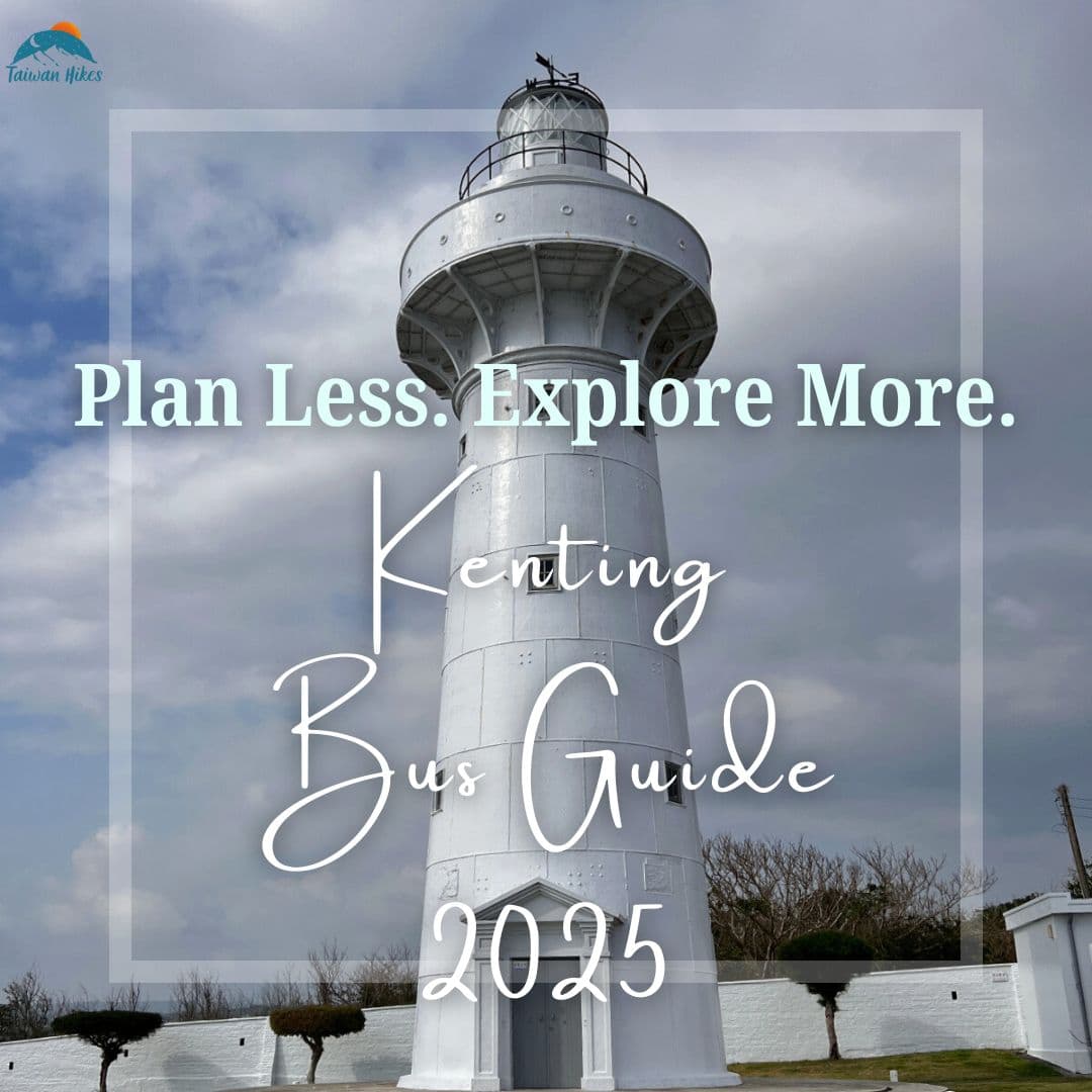
Eluanbi Park 鵝鑾鼻公園, Eluanbi Lighthouse 鵝鑾鼻燈塔 & Taiwan's Southernmost Point 台灣最南端
No trip to Kenting is complete without a visit to Eluanbi. The iconic lighthouse, dramatic cliffs, and sea views
make this area unforgettable. Don't miss Canghai Pavilion (Sea Pavilion) 滄海亭, one of my favorite spots to take
in the ocean breeze. You can reach Eluanbi easily by public bus.

Want to explore more?
Check out the Kenting Guide for
tips on getting around and visiting more hidden gems without a car.

Getting Around Kenting: Bus Guide and Public Transport Tips
If you're looking for multi-day itineraries, clickable bus links, and time-saving planning tools, check out my
Complete
Kenting Bus & Itinerary Guide for a more profound, all-in-one experience.