Unlock the Advanced Matcha Mountain Wonder: A Thru-hike from Mt. Hongludi to the Enchanting St. Marian Hiking Trail in Jiaoxi
This is an advanced version of the matcha mountains in Taiwan, also called Lanyang Holy Ridge (蘭陽聖稜線).
Take a hike through the captivating Mt. Hongludi (Jiaoxi, Yilan) as you trace the majestic ridges, and finish
your journey at St. Marian Hiking Trail.
Immerse yourself in a visual symphony of cascading mountains, ethereal mist, and vibrant emerald ridges,
painting a picturesque landscape that promises a once-in-a-lifetime experience. This is an adventure for
people opting for challenges and embracing the nature wonder in eastern Taiwan.
Disclaimer:
All content is for inspiration only. Use Taiwan Hikes' suggestions at your own risk. We are not responsible for any losses, injuries, or damages.
Taiwan Hikes may include affiliate links. When you purchase through these links, you support our ability to continue providing FREE content — at no additional cost to you.
Table of Contents:
- Trail Information
- Transport to the Trailhead at Cherry Orchard Cemetery and Map/GPX Data
- The Advanced Matcha Mountain Route, aka Lanyang Holy Ridge: from Mt. Hongludi to Wufengqi
- About Mt. Hongludi, St. Marian Trail, and Lanyang 5 Famous Mountains
- Free Guide: How to Apply for Hiking Permits in Taiwan
- Related Posts
Exploring Taiwan? Save Time with the Ultimate 2025 Hiking Guide! Discover the top hikes in every city and
county across Taiwan—all accessible by public transport (bus links available). We've spent 50+ hours
researching the best trails and transit options, so you can skip the hassle and start your adventure!
Trail Information
Trail Name: Lanyang Holy Ridge Thru Hike - St. Marian Hiking Trail + Mt. Hongludi + Mt. Sanjiaolun.
Distance: 13.26 km (8.3 miles)
Route type: Point to point
Days/Hours Needed: 10-12 hours
Total Ascent/Descent: 690m/1,375m
Best Time to Go: All year round, better not in summer.
Permits: Not required
Difficulty Level:
Route type: Point to point
Days/Hours Needed: 10-12 hours
Total Ascent/Descent: 690m/1,375m
Best Time to Go: All year round, better not in summer.
Permits: Not required
Difficulty Level:

Peaks to Reach
- Mt. Hongludi 烘爐地山 (NOT the one in Zhonghe, New Taipei City), 1,166 meters (3,825 feet). A Class 1 Triangulation Stone is at the top with 360 degrees of view.
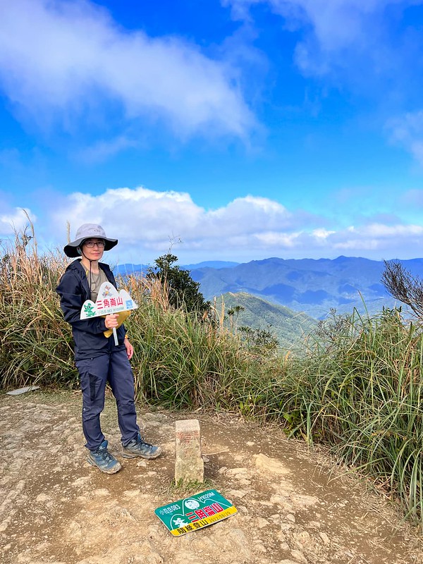
- Mt. Sanjiaolun 三角崙山, 1,029 meters (3,376 feet). This peak features a Class 3 Triangulation Stone and is listed as one of the Minor 100 Peaks in Taiwan. The round trip from St. Marian Shelter to this peak takes approximately 1 hour.
- Mt. Sanjiaolun Southeast Peak 三角崙山東南峰, 1,000 meters (3,281 feet).
Additional Information:
- This hike is also called Hong Sheng Thru Hike 烘聖縱走 or Sheng Hong Thru Hike 聖烘縱走, depending on which trailhead you start.
- Starting from the Cherry Orchard Cemetery side will be easier to take a bus or call a taxi when you finish at Wufengqi.
- This ridgeline trail is flanked by the Pacific Ocean and is in the subtropical climate zone. The weather patterns are rainy and cold in winter and cloudy and windy in summer. Please have a map or GPX trail on your phone.
- Most sections from the trailhead to the St. Marian Refuge Hut are exposed to the sun. It can be scorching hot in summer. Please do proper sun protection.
- There was a tragic accident in March 2021. A tourist went missing near Mt. Sanjiaolun. Three months later, her lower body was found upstream of Feicui Reservoir, more than 10 km away from her missing location. Her body showed signs of being mauled by animals. Please prepare well and do homework before doing this hike.
- Please read my post about what to do when getting lost on the trails in Taiwan.
- Details of St. Marian Hiking Trail.
Transport to the Trailhead at Cherry Orchard Cemetery and Map/GPX Data
Unfortunately, No Public Transport to Cherry Orchard Cemetery
Your location ➔ Cherry Orchard Cemetery ➔ St. Marian Hiking Trail ➔ Jiaoxi Transfer
Station or Jiaoxi Train Station
If you plan to do a thru-hike from Cherry Orchard Cemetery, the only way is to arrange a taxi. I did a check,
and the taxi fare is around NT$600.
If you find a taxi driver who overcharges, which unfortunately happens sometimes, please find another one. Ask
the taxi driver to drop you off at Wei-Shui Chiang Memorial Cemetery 蔣渭水之丘. The driving time is around 40
minutes.
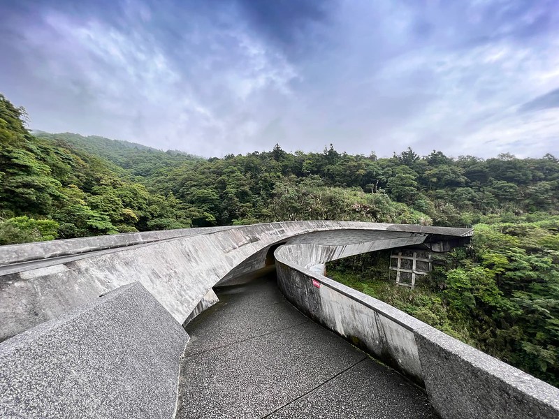
The closest toilets near Wei-Shui Chiang Memorial Cemetery are down the hill next to a beautiful bridge, also
a popular IG spot. But you will have to go back up to the trailhead. Therefore, please do your business before
you call the taxi.
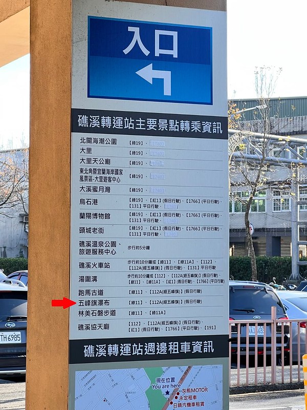
Return Home: Taiwan Tourist Shuttle Jiaoxi Route A
Check the bus timetable.
Bus fare: NT$20 (NT$15 if you use EazyCard or iPass)
The first bus of Jiaoxi Route A on the weekdays at 8:50 and 8:35 on the weekends and holidays.
Bus fare: NT$20 (NT$15 if you use EazyCard or iPass)
The first bus of Jiaoxi Route A on the weekdays at 8:50 and 8:35 on the weekends and holidays.
Note: the last bus back to Jiaoxi Station is 19:24 on the weekdays, and 19:36, but the actual time might vary
due to the traffic. Please check the live arrival time when you go.
Please don't go to the trail too late if you plan to take public transport.
Return Home: Yilan Bus 112
Yilan Bus 112 is a loop route going from Jiaoxi Transfer Station to popular tourist attractions in Jiaoxi. The
earliest bus leaving Jiaoxi Transfer Station is 10:30. Please check the live arrival time of 112.
GPX Track From Mt. Hongludi to St. Marian Hiking Trail 烘聖縱走
You can hike to Mt. Sanjiaolun from St. Marian Refuge Hut and return.
Route map for St Marian Trail From Mt. Hongludi - Advanced by Anusha Lee on plotaroute.com
Click Menu in the map to download, print, or share the map.
You can see more options after clicking the Play button.
Click to change the speed to meet your condition.
You can see more options after clicking the Play button.
Click
 to change the speed to meet your condition.
The Advanced Matcha Mountain Route, aka Lanyang Holy Ridge: from Mt. Hongludi to Wufengqi
I first did this thru-hike in June 2017. I remember it was sunny and hot in the morning, but it turned into a
thundershower around noon. I saw several lightning strikes near us. There was nowhere to hide, and it was scary.
Then, I got to do this hike again in May 2023.
08:45 We left Taipei at 6:45 am and arrived at the famous bridge for a toilet
break and photos. If you hire a taxi, you can ask the driver to let you go to the toilet before the trailhead.
Wei-Shui Chiang Memorial Cemetery is another IG spot.
Started the Hike in the Cloudy Weather
09:06 Started the hike. On January 2, 2020, an army Black Hawk helicopter crashed near here. Eight military servicemembers,
including the Chief of the General Staff Shen Yi-ming 沈一鳴, were killed, and five were wounded. Several new roads
were built to boost the rescue effort.
We saw many Taiwan Raspberries 刺莓 on the sides of the road. Those were delicious.
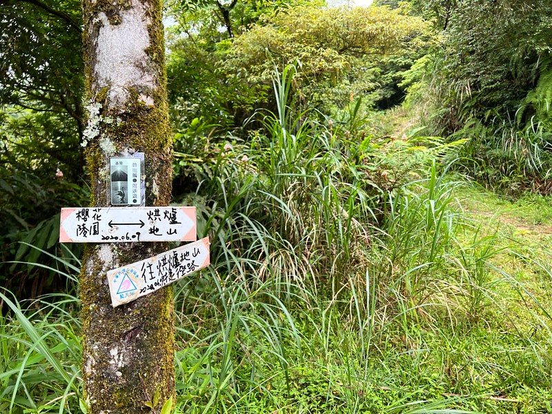
09:28 We reached a junction, which was the old trailhead years ago. If you do Tonghou River Tracing, you
take this trail in the middle.
09:50 We passed a swamp and reached another junction with several trails. If you
follow the biggest trail, you will reach a small shrine 神武英靈紀念碑 built to commemorate the lives lost in the
crash. We didn't go there.
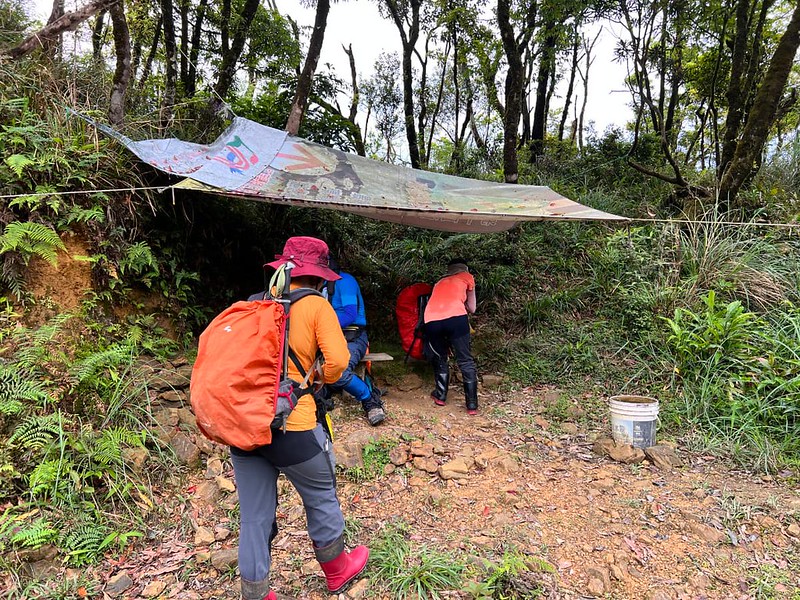
We took a break again under a tarp, and I unloaded some items from my backpack. I wasn't feeling ok because of
the heat. Although I wanted to see a blue sky on this hike, the cloudy weather helped us escape the heat.
Steep Ascending to Mt. Sanjiaolun
09:57 A lighter backpack made a difference. I felt much better when we resumed
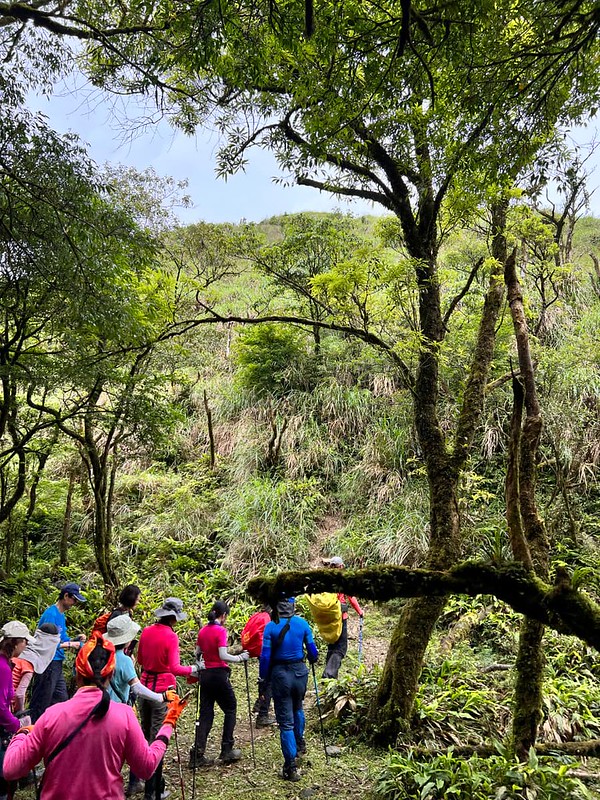
our hike. Unlike the expansive road we took, we entered the woods and took on the narrow trail. It was steeper
and muddier from the junction to Mt. Sanjiaolun. I'm glad I wore my rain boots.
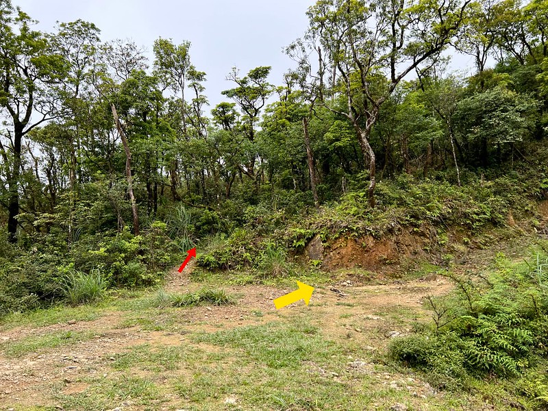
We stopped at a swamp for a short break and an abrupt slope awaited us. That's the slope to Mt. Hongludi.
The vegetation changes into tall grass, exposing this section to the sun. But this doesn't mean the trail
terrain is dry. It's still muddy.
10:19 We reached Mt. Hongludi, 1,166 meters. There is a Class 1 Triangulation
Stone on the top. When we arrived there, the weather was partially cloudy. At least we could see some views; not
complaining. Our guides told us we could see Mt. Sanjiaolun when the weather was good.

10:55 We returned to the junction, where I unloaded my items. Our guides decided
to let us have a 30-minute lunch break.
Our guide, Ying-Zuo, told us he had done this hike at least five times and only saw a blue sky once. The weather
in this area changes very fast, even though the weather forecast predicts good weather.
After the lunch break, we continued the hike. Soon, we hiked on the ridges covered by grassland. At first, our
surroundings were blanked by the clouds. I was disappointed.
Unveiling the Enchanting Matcha Mountains
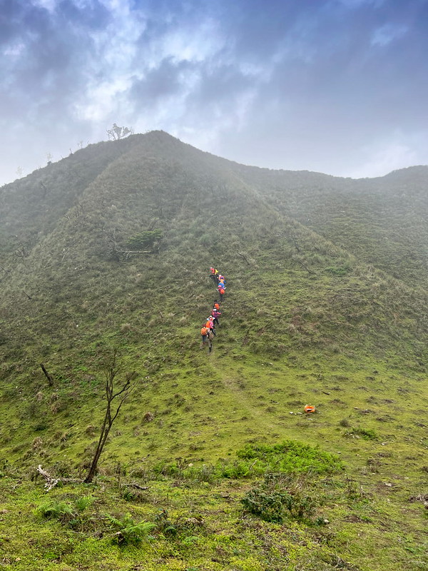
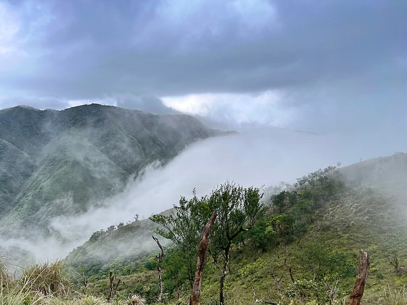
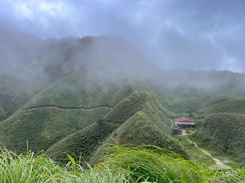
Suddenly, a gust of wind swept away the mist, revealing the majestic green mountains. The undulating terrain
stretched out before us.
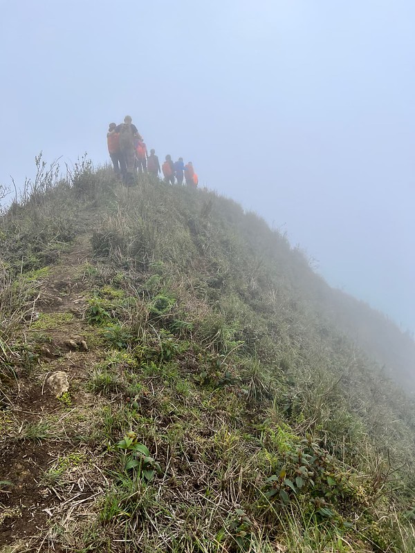
The vibrant outfit of my fellow hikers formed a vivid procession along the sharp ridgeline, highlighting its
steepness.
Glancing back at our companions trailing behind, I admired how small we are against the vastness of those
mountains.
The interplay of fog, clouds, and sunlight persisted as if engaged in hide and seek, showering us with
delightful moments of wonder.
The distant mountains teased us with a fleeting display of magnificence, only to retreat behind a veil of mist
once more.
Blessed with impeccable weather, we were spared from the searing sun while still beholding the mesmerizing
contours of the landscape.
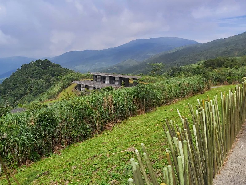
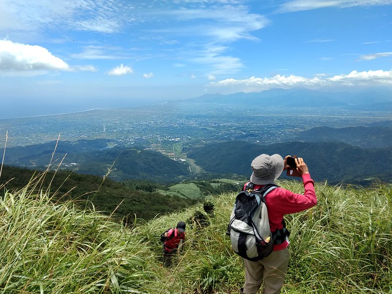
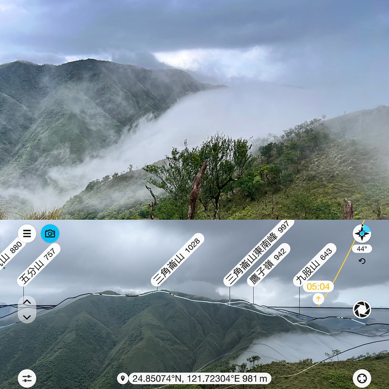
14:03 We arrived at the idyllic vantage point, offering
breathtaking sights of the renowned Matcha Mountains and the nearby scenic platform.
The name "Matcha Mountains" aptly captured the grandeur of this spectacular landscape. Our arrival couldn't have
been more fortunate. Wisps of clouds cascaded over the ridges, gracefully meandering into the valleys, leaving
us spellbound by the sheer beauty unfolding before our eyes.
In an attempt to capture the mesmerizing scene through a timelapse video, I soon realized that nature had other
plans. The clouds swiftly rekindled their dance, putting everything under its veil again.
Accepting the gentle nudge from Mother Nature, I resumed my hike, eagerly reaching our next destination.
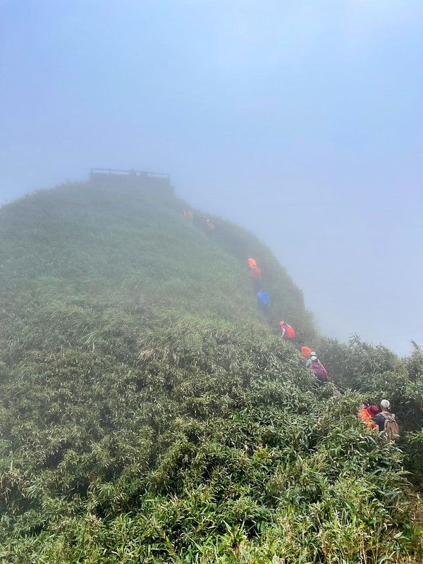
If you take this route, numerous slopes pose a challenge with their steepness and slipperiness. Take your time,
and navigate them attentively.
Back to the St. Marian Hiking Trail
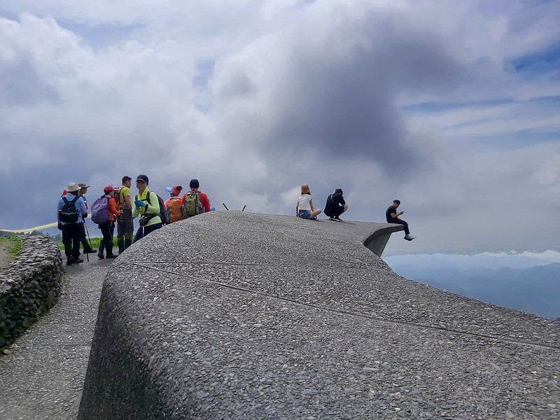
14:38 Following the grueling journey through the mist-shrouded terrain, I stood
before the long-awaited platform.
In a display of enchantment, Mother Nature waved her metaphorical wand, transforming St. Marian Hut and the fire
suppression pond into a captivating fairyland.
While most of our hiking mates ventured to Mt. Sanjiaolun, I remained at the hut, relishing a tranquil moment
with a steaming cup of Matcha tea. Our thoughtful guide, Ying-Zuo, brought everyone a package of Matcha tea.
After all, we were at Matcha Mountains.
Since we are back at St. Marian Hiking
Trail, I keep the description brief in this post.
17:00 We were back at Tongtian Bridge.
17:53 We passed the catholic church.
17:53 I saw the beautiful sunset by De Zi Kou Creek.
18:20 We returned to the De Zi Kou Creek parking lot, bidding farewell to an
eventful day of adventure.
About Mt. Hongludi, St. Marian Trail, and Lanyang 5 Famous Mountains
Lanyang 5 Famous Mountains 蘭陽五大名山
Five famous mountains are located between Wulai, New Taipei City, and Yilan. They are Mt. Yingziling 鶯子嶺山 (943
meters), Mt. Sanjiaolun 三角崙山 (1,029 meters), Mt. Hongludi 烘爐地山 (1,166 meters), Mt. Dajiaoxi 大礁溪山 (1,161 meters),
and Mt. Ayu 阿玉山 (1,419 meters).
They belong to Xueshan Mountain Range 雪山山脈. Xueshan Mountain Range is the northmost mountain range in Taiwan and
extends to Sandiaojiao. There's a beautiful lighthouse in Sandiaojiao, and Sandiaojiao is the eastmost point of
Taiwan.
Nestled on the border between Wulai, New Taipei City, and Jiaoxi, Yilan County, Mt. Hongludi is the only one
with a Class 1 Triangulation Stone among Lanyang 5 Famous Mountains. It is also a compelling point for avid
hikers before tackling the thrilling Tonghou River Traversing Trail.
St. Marian Hiking Trail and Brother Luigi Pavan
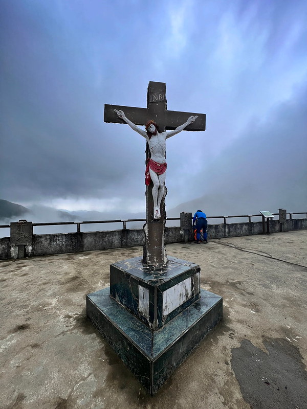
St. Marian Hiking Trail was built by an Italian monk, Brother Luigi Pavan, and volunteers in 1979. They carried
all the materials to the top and built the platform for worshiping.
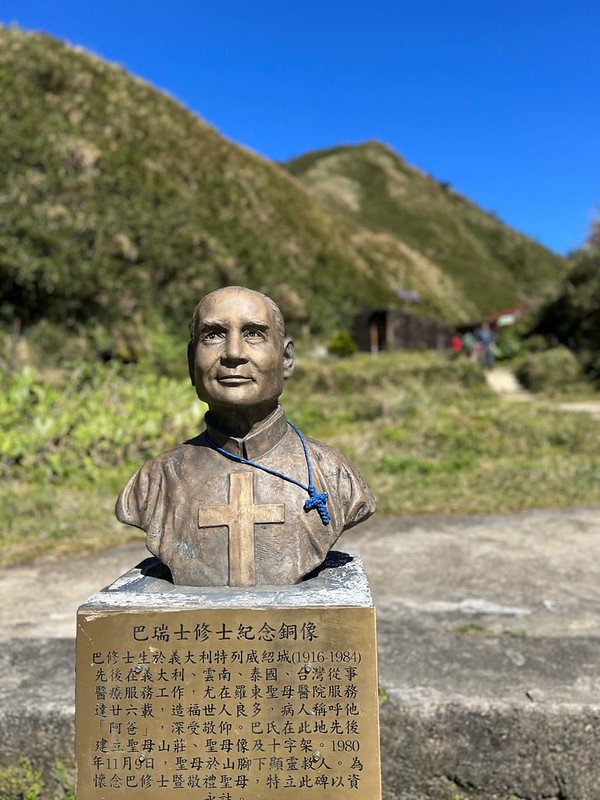
Brother Luigi Pavan devoted his life to patients, especially those suffering from TB, at Saint Mary's Hospital
in Luodong, Yilan, for over two decades. He passed away on February 9, 1984, at the age of 68. Later, Brother
Pavan's bust was built next to St. Marian's statue at St. Marian Refuge Hut, overlooking hikers and Yilan.
Free Guide: How to Apply for Hiking Permits in Taiwan
Do you plan to hike high mountains but don't know how to apply for hiking permits? Look no further! Download
this complimentary guide with instructions to help you navigate the application process seamlessly.
I hope you enjoy this post. Have you done St. Marian Hiking Trail or the thru-hike? Are you planning to do it?
Feel free to let me know in the comments below.


