(Closed) Dali Datong Villages: A Hike Worth Doing Every Year in Eastern Taiwan
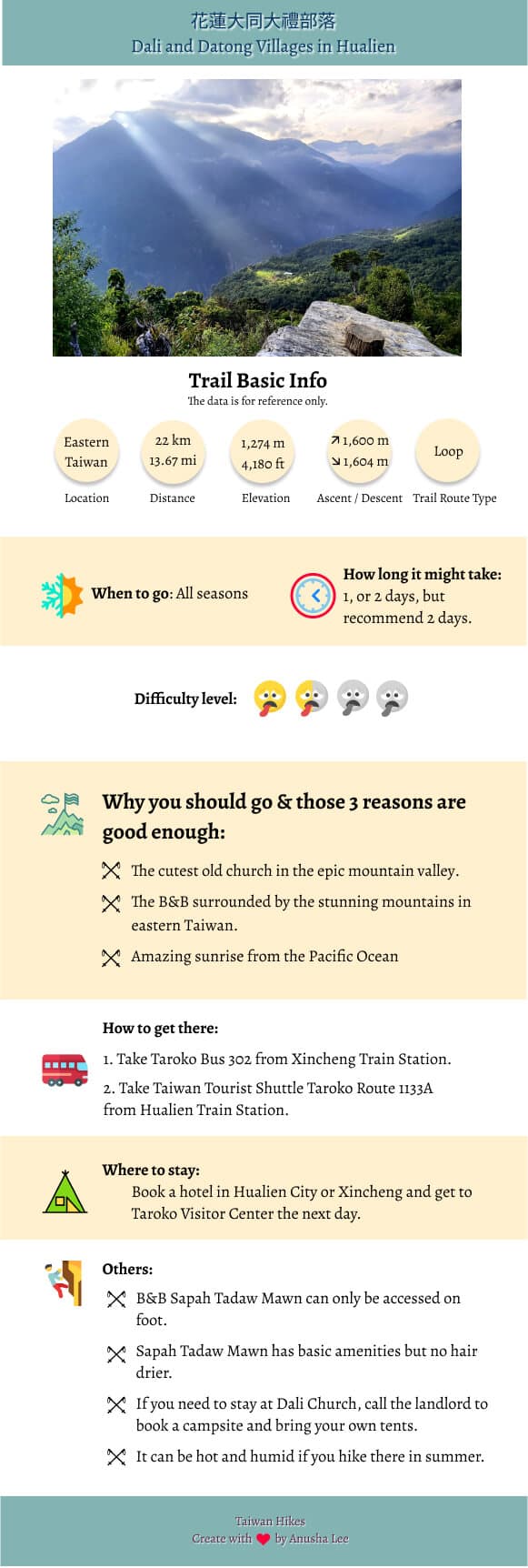
There are many things to do in Hualien, and visiting Taroko Gorge is one of them. But, there is a much less
known secret place only local people know. That is the trail to Datong and Dali villages starting from Taroko
Tourist Center. This is a hike I enjoy a lot and worth doing every year.
Some trails in Taroko National Park have partially reopened as of June 30, 2025, including those to Dali and
Datong Village. For more details, please visit he Taroko National Park website.

Disclaimer:
All content is for inspiration only. Use Taiwan Hikes' suggestions at your own risk. We are not responsible for any losses, injuries, or damages.
Taiwan Hikes may include affiliate links. When you purchase through these links, you support our ability to continue providing FREE content — at no additional cost to you.
Table of Contents:
- About Dali and Datong Villages (aka Xoxos Trail or Datong Dali Trail) and Shakadang Trail
- How to Get There
- Peaks and Places to Reach
- Day 1: A Trail with the Stunning Mountain Views and the Cutest Old Church
- Day 2: Enjoy Breakfast with the Most Stunning View. Later An Unfortunate Accident.
- Thoughts about this Hike: A Trail worth to Visit Every Year
- Map and Itinerary
- Recommended Blogs and Resources
- Related Posts on Taiwan Hikes
About Dali and Datong Villages (aka Xoxos Trail or Datong Dali Trail) and Shakadang Trail
Dali 大禮部落 and Datong Villages 大同部落 are located in the tablelands between Shakadang River and Mt. Qingshui 清水大山
in Sioulin Township 秀林鄉, Hualien 花蓮縣, and are preserved areas for indigenous Truku people. Some parts of those
villages are so remote that they can only be reached on foot, and others can be reached by small farm
vehicles. The trail of Dali and Datong is the only one connected to the outside world.
The old name of Dali Village was Huhus (or Xoxos) meaning the sounds made by snakes, and Datong Village was
called Skadang, meaning molar. Villagers have to rely on
pulley to carry their goods and things for daily life, which costs NT$6,000 (around US$215, EUR178) per trip.
Otherwise, they have to carry those things on foot. Life isn't easy for them, but this simple life gives them
the most stunning nature in return.
Please don't get confused Shakadang Forestry Road 砂卡礑林道 with Shakadang
Trail 砂卡礑步道. The latter one is much easier to hike and can be a standalone trail for small children to
enjoy, too. The mountains, Shakadang River and plants on the trail are amazing. The teal color of Shakadang
River is so vibrant and mesmerizing that you can just sit there all day.
How to Get There
Before you go, you need to check whether the trails are open for the public to hike.
Sometimes, the trails are closed due to the landslide or other reasons.
- 1. You can take Ropo Bus 302 at Xincheng Train Station 新城火車站 and get off at Taroko Visitor Center 太魯閣遊客中心.
- 2. Or take Hualien Bus 1133, 1126, or 1141 from Hualien Train Station and get off at Swallow Cave Stop. Please note that those buses will stop in downtown Hualien City, which will take longer to arrive at Taroko Visitor Center. You can also take Hualien Bus 1133A to Taroko Visitor Center, because it will bypass Hualien downtown and get to your destination at least 30 minutes faster depending on the traffic.
- 3. The fastest bus to get to Taroko Visitor Center is Taiwan Tourist Shuttle Bus 台灣好行 Taroko Route 310 at Hualien Train Station.
Your support empowers Taiwan Hikes to create more FREE content, making your hiking adventures in Taiwan
even more enjoyable. Click "Buy Me A Coffee" or use our affiliate links to support.
Peaks and Places to Reach
Mt. Liwu 立霧山: height 1,274 meters (4,180 feet) also listed as a Xiao Baiyue 小百岳. There's a Class 2
Triangulation Stone, but no views on the peak.
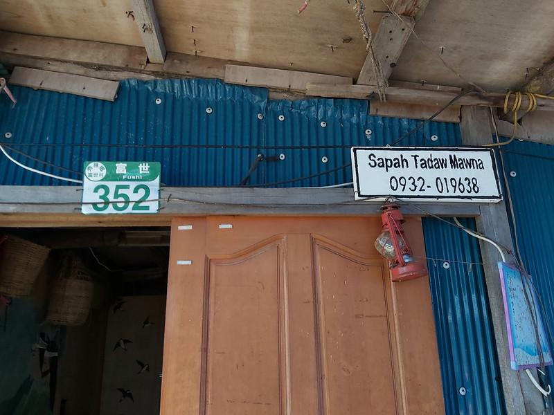
Sapah Tadaw Mawna 達道的家: at the height of 1,100 meters (3,609 feet) is not a peak, but you shouldn't miss this place. This is a B&B located on a tableland overlooking the most epic valleys and mountains in eastern Taiwan. There's hot water for you to take a hot shower, but no hair dryer, because they need the solar power for the essential appliances.
You can choose to share the big bed with other hikers indoors or stay inside a tent provided by them. The cost includes two meals (breakfast and dinner). The latest price for each person is NT$1,500 (US$54, EUR44). There's some internet access. It's better to make a phone call to book your stay at least 2 weeks in advance.
Day 1: A Trail with the Stunning Mountain Views and the Cutest Old Church
GPS coordinates of the trailhead: 24.15887, 121.62157
We visited Dali and Datong Villages in summer. We stayed at a hotel in Xincheng Hualien for one night and
headed to Taroko Visitor Center at 7 am. For some unknown reasons, my legs cramped when I got up.
Start the Hike with Hot, Beautiful Weather and Cramped Legs
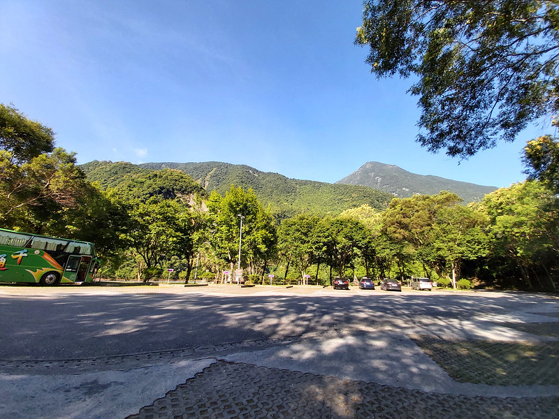
By the time We arrived at Taroko Visitor Center around 8 am, my legs were still cramped. But I was happy to
the gorgeous weather.
After going to the toilet and getting ready, we took a stair close to the toilet, and this stair connected to
Dekalun Trail. According to the map, there were three ways to get up to Shakadang
Forestry Road, but we took the rugged one, because we are hikers and we enjoy challenges.
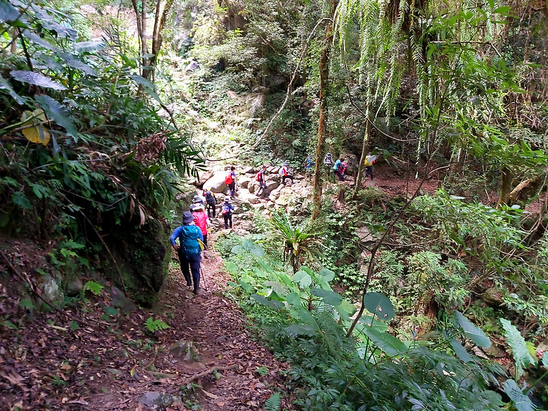
Dekalun Trail wasn't long, around 1.3 km (0.8 miles), and then we reached a very steep slope. My cramped legs
still gave me a hard time, and I had to stop several times to massage them, which made my hike much slower.
Our guide told me to take salt to relieve the condition, and it helped a little bit. Luckily, my cramp wasn't
too serious. I've seen a female hiker who suffered a very bad cramp, and she sat on the trail screaming
because of the pain.
A Pulley Relay Station with the Amazing View
After some steep slopes, we reached the pulley station 流籠中繼站 and took a break. This was such a wonderful spot
to take a break. We walked to the edge of the station and we could see Taroko Visitor Center, Liwu River, and
the infamous cement factory that was located on the barren hill.

I turned to the mountains to see where the pulley went. It went all the way up to the somewhere on the
hilltop. The pulley or cableway used to transport logs. The logging industry had been active for more than 100
years in Taiwan before it came to a halt when government issued the ban of virgin forest logging in 1990.
However, illegal loggings still happen from time to time, and this is another story to tell.
But this pulley still carries on its job to transport the goods for the local people dutifully. I realized
later that this pulley was the main lifeline for the villagers to transport food and daily necessities. Life
is still not easy for many people.
Entered Dali Trail with A Flatter Terrain
After the break, we continued our hike. Dekalun Trail ended here, and the trail conditions were slightly
better. Most of the trails from Dekalun and Dali Trails were covered with shade, but the humidity and heat
were still too much in summer.
There were signs warning about the risks of wasps and snakes. We didn't have many typhoons coming to Taiwan in
2020, and many wasp nests remained intact, which led to many hikers being stung on the trails in different
parts of Taiwan. It's definitely not fun to have a close encounter with those tiny warriors.

When we finally reached to the flatter part of Dali Trail, we saw Chongde Automatic Repeater Station
氣象局雨量測報系統崇德中繼站, a machine to collect precipitation information. We took a break here and obviously this part
could be accessed by two-wheeled vehicles. My cramped legs felt better since the hike was not that steep.
The Cutest Old Church with the Most Spectacular Valley View
We hiked a little further and saw a junction with a big and two smaller signs telling us that we were about to
enter Dali Village, or Huhus, the old name of Dali Village in Truku meaning the sound made by snakes or a
place with many snakes.
This detour took us down to Dali Church. Before reaching the church, we passed some houses that seemed to have
people living there and an old, discharged police station. There was a sign explaining the brief history of
this area.
Around 1980, Dali villagers moved to Minle Community 民樂社區 near Taroko, and many houses were abandoned ever
since. Lucky for us, we still got to see them standing on the hills.
I was intrigued by the history of this village, but I had a hard time to concentrate on the stories told on
the sign, because I couldn't take my eyes off the mountains around here.
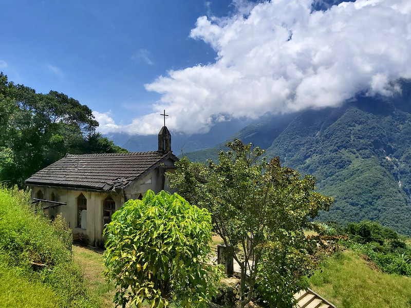
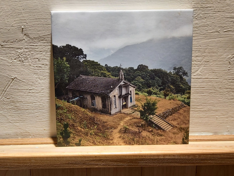
We continued to go downhill and saw a sign pointing to the place for our lunch break. We made one more turn
and I almost let out a shriek when I saw it: an unassuming little gray house which was the perfect match to
the stunning valley view.
I forgot about the heat and my cramped legs and walked as fast as I could to get close to this tiny church. I
left my backpack under a tree and took a walk around the church. It was bigger than I thought, and the front
door was locked.
There was a sign saying that hikers could camp here for NT$150 (US$5.4, EUR4.4) per person per night. I
couldn't help but imagine the starry sky I could see at night here. After I was satisfied, I got back to the
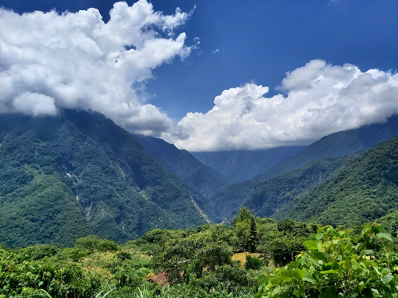
tree and had my lunch while enjoying the valley and mountains with the fluffy clouds floating in the bright
blue sky.
The views here were so epic that I have to share several photos here.
Later I found some old photos of Daling Church when the tree in front of the church was still small. It had
all grown up when I visited it in July 2020.
Back to Shakadang Forestry Road and Hike to Mt. Liwu
After our lunch break, we took the same trail back to Shakadang Forestry Road and saw a junction. The trail
from the junction was called Tongli Trail 同禮步道, which could take you to
Datong Village.
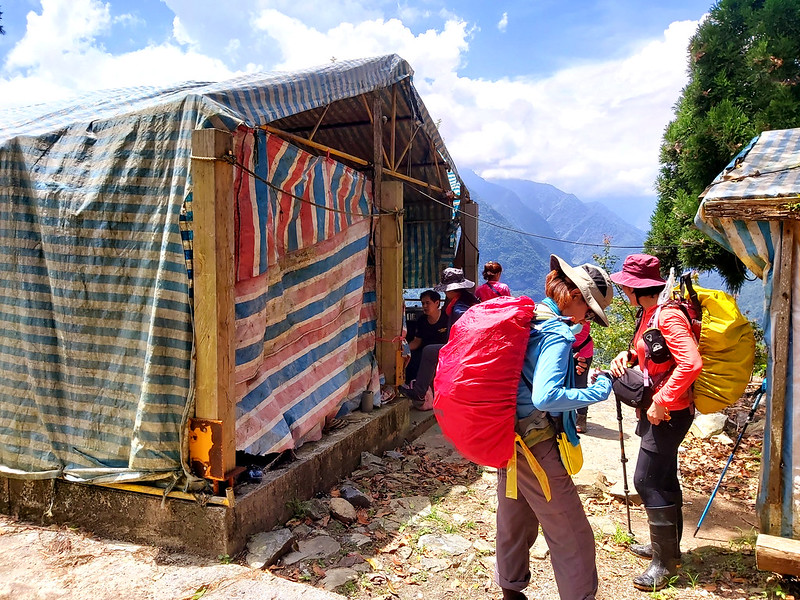
Soon we saw a hut covered by plastic tarp and met a couple cooking their lunch. They were very friendly and
told us that we could draw water or wash our faces from the faucet. If you camp at Dali Church, you can come
here to draw water, which was around 25 minutes from the church.
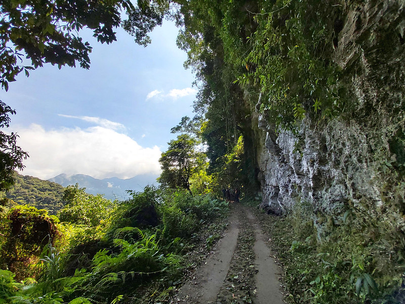
Back to the forestry road, we reached a big white cliff wall. There was no plant growing on this cliff wall,
and we could see the beautiful white color. We waited here for a few minutes for other hiking mates to catch
up, which also gave me a few more minutes to admire this cliff wall.
The mountains in the distance were gorgeous.
Finally, we reached the junction we'd been striving for, the trail to Mt. Liwu with height of 1,274 meters
(4,180 feet). The round trip from the junction to the summit of Mt. Liwu was around 70 minutes, but some of
our guides and hikers decided not to go. I knew why later.
I was expecting to see the magnificent views on the peak, but we saw nothing because of the trees. The trail
was much steeper than Shakadang Forestry Road, the woods was quite dense, and the terrains were very rugged.
When I finally got to the peak, I realized that we could barely find enough space to take group photos.
I have to say I was quite disappointed, but this trail still gave me something wonderful to remember before
reaching the peak. I found Calanthe sylvatica 長距根節蘭, a native orchid in Taiwan.
Those amazing flowers just stood out of the dense trees, and I took many photos of them.
Everything was Paid off and Everything was Perfect
After this, we still had some small hills to climb to get to our destination for the day. I took the last
steep hill feeling defeated, but then the things in front of my eyes made me feel like being born again. I
forget the heat, my cramped legs, almost everything:

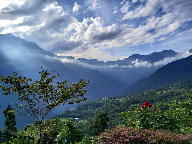
I ran to the edge of the front yard at Sapah Tadaw Mawna 達道的家, our B&B for that night, trying to absorb the
views presenting in front of me as much as possible: the clouds, the lights, the sky, and Mt. Qianliyan 千里眼山
on my right, the pointed Big Mt. Qingshui 清水大山, the almost triangular Mt. Sanjiaozhui 三角錐山, 2,607 meters
(8,553 feet) in the middle, and other mountains I couldn't remember. Everything was perfect!

Our guides told us there was rock platform nearby. I abandoned my backpack and ran over there. Some of our
hiking mates were already there. My timing was perfect. There was a beam of sunlight breaking through the
clouds and pointing at a small tableland in the distance.
Waiting impatiently for my fellow hikers to finish their photo taking, I could feel my heart was going to
explode with joy and gratitude, even though the magic beam of light disappeared within a few minutes.
After spending enough time on the rock platform, I got back to the house to take a look at the place we were
going to stay. You can stay inside the house or at the tents. This was a humble looking place, but I think it
was a perfect match to the surroundings. We didn't need a fancy man-made building to destroy this amazing
landscape.
There was a bench on the edge of the yard. I sat there watching the sky changing its colors again. It was
getting dark and the setting sun turned the clouds red. I can't find another word to describe what I saw. It
was just perfect.
Needless to say, the starry sky was awaiting us in the evening. My small camera wasn't able to pick up the
stars, but it didn't matter.
Day 2: Enjoy Breakfast with the Most Stunning View. Later An Unfortunate Accident.
We got up very early to a cliff nearby to see the sunrise. Although the weather was cloudy, we still managed
to see some stunning colors from the sky.
The Best Breakfast
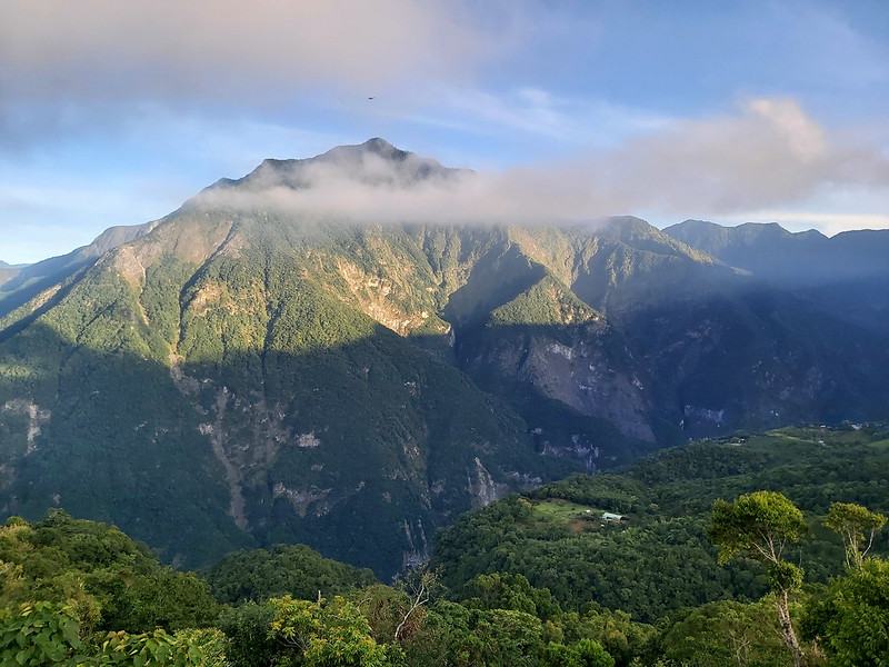
But when we were on our way back to the house, we saw Mt. Sanjiaozhui bathing in the early sun, which gave us
a totally different look from what we saw yesterday.
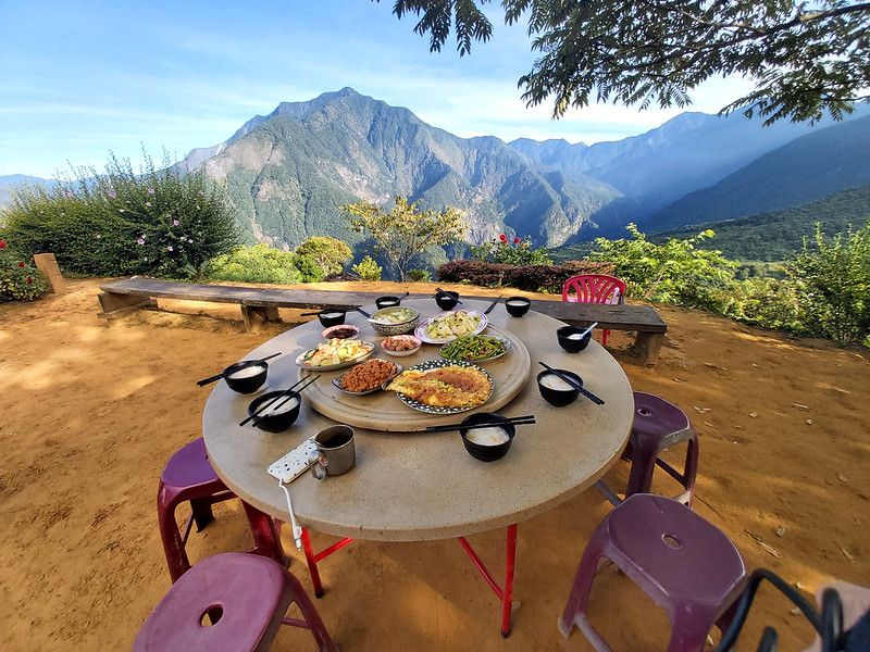
Not just this, by the time we got back, we were lucky enough to take the best table to have the breakfast. Our
breakfast was tasteful. The owners of this house carried all the ingredients up there, which made the food
taste even more special. The view in front of us made me feel humble even more.
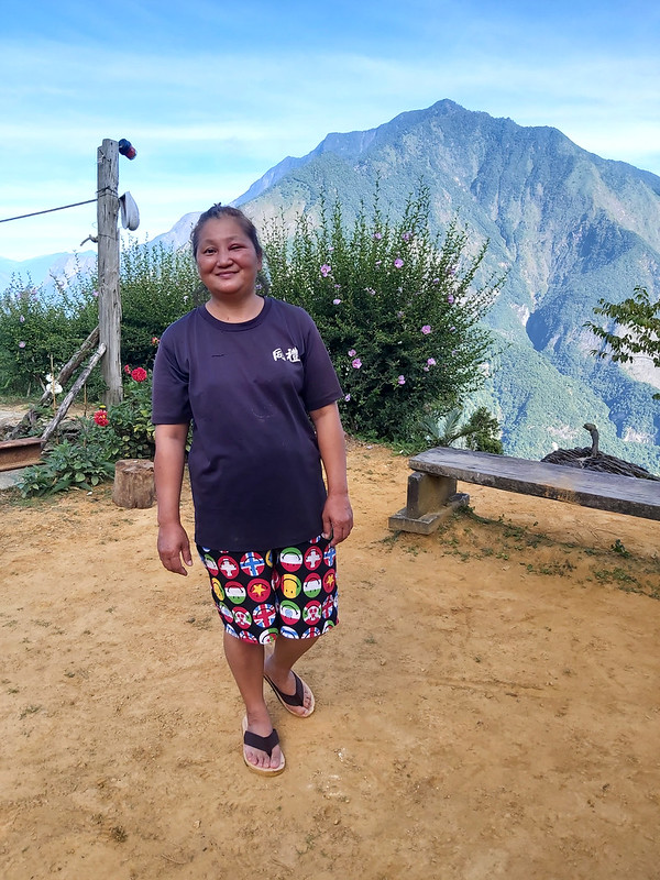
The name of this place belonged to the tribal chief, Tadaw Grandpa 達道爺爺, but sadly he passed away in 2018 at
the age of 83. His son and daughter in law took over this place to provide a temporary home for hikers. They
were as friendly as Tadaw Grandpa, and they could tell you all the peaks you could see there. But my short
memories can't remember all of them.
Before we left, we explored this area again and took even more photos. I felt sad to leave here so soon, but I
promised myself that I will come back again.
Sakadan Village like a Fairy Tale
We got back to Shakadang Forestry Road again. The trail was pleasant and flat to hike. We reached a junction
with a sign saying Sakadan (Shakadang) Village 砂卡礑部落 after 50 minutes.
We left our backpacks here and took that direction to Sakadan Village. We passed through beautiful bamboo
woods and the landscape opened up. We arrived at Sakadan Village.
This village was located in the valley and it looked like it was hugged by the lovely mountains.
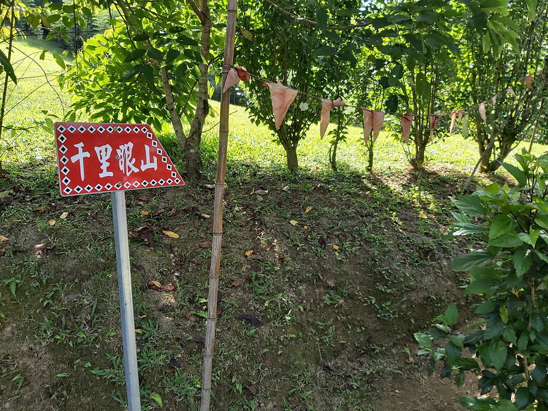
I saw a big red sign pointing to the direction to Mt. Qianliyan. Our guide told us that this was the trail to
Mt. Qianliyan and Big Mt. Qingshui. They looked so close from here.
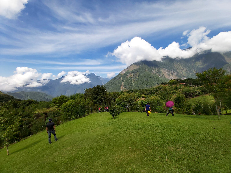
I took a short walk and decided to get up to the grass hill. I sat down, watching the mountains and clouds in
the distance. It was for sure that this place would never disappoint you.
Started the Challenging Hike but an Unfortunate Accident Happened
After the happy detour to visit Sakadan Village, we got back to the trail. From there, the trail terrain
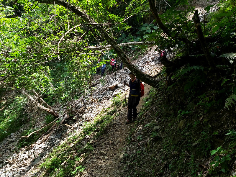
become rugged again and there were many fallen rock slopes. Our guides reminded us to take our time and there
was no need to rush.
Just after we passed the second big slope, a female hiker who was a few meters behind me and was still on the
slope suddenly sat down. Then, she spitted out the thing that was every hiker's nightmare: I think I just
broke my leg.
Our guides rushed to her side to check her condition. When one female guide tried to touch her leg to access
her condition, the injured hiker yelped in pain. I couldn't see much from the place I stood, and we waited
there patiently. Our guides decided to call 112 for help. I think we waited there at least one hour.
Two guides stayed with the injured hiker waiting for the rescue team to come. The other two guides took us
back to our hired bus. Everyone was still in shock and kept reminding each other to be cautious. There were
several some rocky and steep hills to pass, and we all tried to stay alert as much as we could. The distance
from the injured hiker's location to the trailhead was around 6 km.

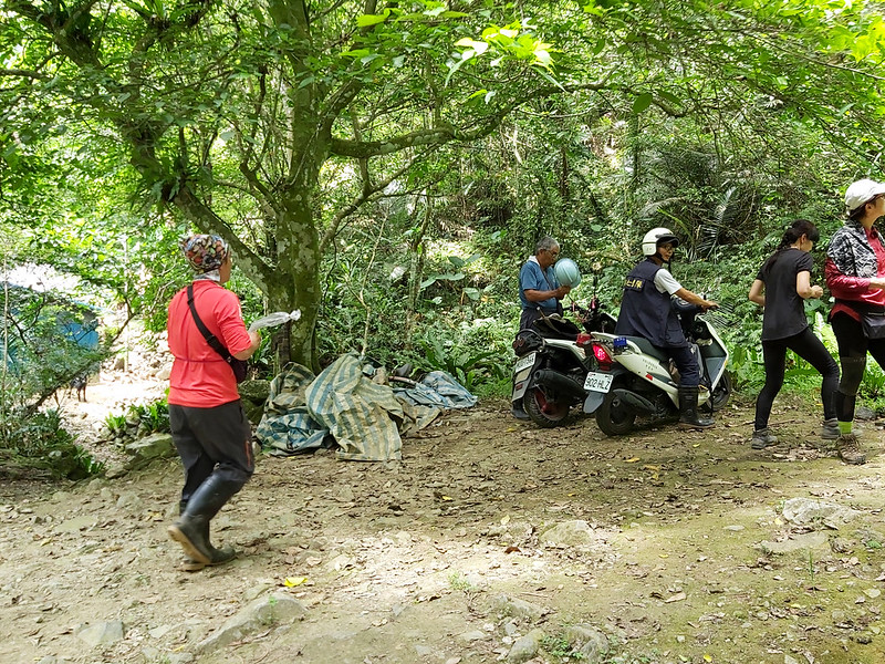
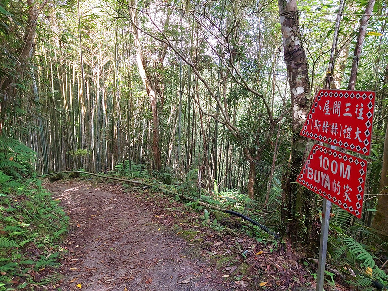
Then, we reached Sanjianwu 三間屋, which was the end of the steep hike and we had our lunch break. While having
my food, I saw the first arrival of two rescue team members riding their scooters. Although the trail was flat
after Sanjianwu, the uneven trail terrain still made their scooter ride difficult, which means the rest of the
team had to get to there on foot.
After lunch break, we continued the 4.4 km hike to reach the parking lot at Taroko Visitor Center. Now, we
were on Sakadang Trail, not the challenging forestry road.
If it weren't the accident, Sakadang Trail would be a very pleasant trail to enjoy. But we were still in a
somber mood because of the accident. Long before we reached the parking lot, it started raining, and I was
soaking wet. Compared to our injured mate, being soaking wet seemed not a big deal. At least, we made it back
to our bus safely.
Thoughts about this Trail: A Trail worth to Visit Every Year
This is a truly amazing trail to hike, and visiting Sapah Tadaw Mawna is definitely worth visiting every year.
There are many options to enjoy your stay in this place. 1. Stay in Hualien for one night and get to Taroko
Visitor Center to start your hike and stay at Sapah Tadaw Mawna for another night. If I have enough time, I'd
love to stay there at least for 2 nights.
2. Stay one night at Dali Church for one night and head to Sapah Tadaw Mawna for another. Please remember to
contact and pay in advance for your stay at Dali Church. But you will need to carry your own tent and sleeping
bag.
3. Spend your first night at Sapah Tadaw Mawna and your second at Sakadang Village. There are some B&B like
Rainbow House 彩虹屋 to stay.
As to how to get back to Taroko Visitor Center, I will take the same trail back to the parking lot instead of
making a loop hike, which will be easier. If you want to hike Big Mt. Qingshui, you will need to apply for
permits. If you still want to hike from Sapah Tadaw Mawna to Sanjianwu, you need to check whether this section
is closed before you go.
There are many hiking trails in Taiwan, but I haven't got a chance to explore those remote ones in Hualien and
Taitung. After Dali and Datong Villages, my goal is to hike
Shakadang Tree Heros 砂卡礑三雄: Big Mt. Qingshui 清水大山 with height of 2,408 meters
(7,900 feet), Mt. Liwu 立霧山 with height of 1,274 meters (4,180 feet), Mt. Qianliyan 千里眼山 with height of 1,624
meters (5,828 feet). Hopefully, I will get to do this soon.
If you prefer a more relaxing hike, Shakadang Trail is for you. I've been this trail several times,
and I can always find something new on this trail.
Have you been to Taroko Gorge? Are you also looking for other places to visit in Hualien? If so, this hike is
for you. Please leave comments below and subscribe to newsletters for more amazing trails in Taiwan.
Map and Itinerary
Click Menu in the map to download, print or share the map.
Click to change the speed to meet
your condition.
Note:
My GPS track may not be totally accurate and is for reference only.
Click
 to change the speed to meet
your condition.
to change the speed to meet
your condition.Note:
My GPS track may not be totally accurate and is for reference only.
Day 1: based on my hike on July 18, 2020
07:53
Arrived at Taroko Visitor Center
08:16
Started the hike
08:33
Reached a junction and went uphill
09:27
Reached the pulley station and took a break
09:45
Resumed the hike
10:52
Passed the sign of 1.4k to Dali Village
11:16
Reached Chongde Automatic Repeater Station
11:32
Reached the junction to Dali Village
11:43
Passed the discharged police station
11:48
Arrived at Dali Church and had a lunch break
12:46
Resumed the hike
13:14
Passed the hut and the faucet
13:39
Reached the white cliff and waited for the rest hiking
mates
14:11
Reached at the junction to Mt. Liwu, Sapah Tadaw Mawna, and
Sakadan Village. Rested for 15 minutes
14:30
Reached the trailhead of Mt. Liwu
15:13
Reached the peak of Mt. Liwu
15:57
Back to the junction and headed to Sapah Tadaw Mawna
16:18
Saw the sign of Sapah Tadaw Mawna and went uphill
16:23
Arrived at Sapah Tadaw Mawna
Total time:
8 hours 30 minutes, including long breaks
Day 2: based on my hike on July 19, 2020
04:28
Headed to Mt. Liwu deck to see the sunrise
04:51
Arrived at Mt. Liwu deck and waited for the sunrise
06:01
Back to Sapah Tadaw Mawna
06:59
Breakfast
08:08
Left Sapah Tadaw Mawna
08:23
Back to the junction and took the one to Sakadan Village
09:10
Arrived at Rainbow House and looked around
09:30
Left Sakadan Village
09:38
Back to the junction and headed to Sanjianwu
10:06
Reached the sign of "2.2k to Shakadang Trail and
Sanjianwu"
10:23
Passed the first fallen rock slope
10:44
Passed the sign of "1.2k to Sanjianwu" and the second fallen rock
slope
10:50
Hiking mate broke her leg and we waited
11:40
Resumed the hike
12:16
Reached Sanjianwu and had a lunch break
13:20
Left Sanjianwu and took Shakadang Trail
14:21
Reached Wujianwu and took a short break. 1.5k left to the
trailhead
14:51
Reached the trailhead of Shakadang Trail and bridge
15:11
Arrived at Taroko Visitor Center
Total time:
7 hours 3 minutes, including long breaks


