Walami Trail Revealed: A Comprehensive Guide to One of the Best Trails in Hualien
The Walami Trail, a spectacular slice of Hualien's natural splendor, forms part of the historic Batongguan
Trail and beckons hikers worldwide. This trail, a part of the historic Batongguan Trail, winds through lush
forests and past several suspension bridges, showcasing Taiwan's natural beauty at its finest.
Hikers can immerse themselves in the trail's rich history, once a home for the indigenous Bunun people and the
tension between the Japanese colonial rule, passing the relics of the old police stations and camping at
Walami Cabin.
Whether you're a seasoned hiker or a casual nature lover, the Walami Trail in Hualien is a must-visit,
offering a blend of natural wonders and historical intrigue. You will find details about permits and transport
in this post.
Walami Trail reopens on January 1, 2025. Please check Yushan National Park before you apply.
Walami Trail reopens on January 1, 2025. Please check Yushan National Park before you apply.
Disclaimer:
All content is for inspiration only. Use Taiwan Hikes' suggestions at your own risk. We are not responsible for any losses, injuries, or damages.
Taiwan Hikes may include affiliate links. When you purchase through these links, you support our ability to continue providing FREE content — at no additional cost to you.
Table of Contents:
- Trail Information: Sections with and without Permits
- Transport to the Trailhead, Map/GPX Data, and Permits to Walami Cabin
- Walami Trail Itinerary: An Easy Hike Through Forests, Suspension Bridges, and History
- About Walami Trail, Batongguan, and Formosan Black Bears
- Free Guides: How to Apply for Hiking Permits in Taiwan. Or Hire Me!
- Related Posts
Trail Information: Sections with and without Permits
Trail Name: Walami Trail (Warabi Trail)
Distance: The without-permit section is 9 km (5.6 miles); the total section to Walami Cabin and back is 27.2 km (17 miles).
Route type: Out-and-back
Days/Hours Needed: 2 days or 8-10 hours a day if you plan to reach Walami Cabin.
Total Ascent/Descent: 1,684m/1,684m
Best Time to Go: All year round
Permits: If you only hike to Jiaxin (Jiasin) Police Station, you don't need a permit. However, if you want to visit the old Bunan stone slate house or hike to Walami Cabin, you must apply for the Nation Park Permit and the Police Mountain Entry Permit.
Difficulty Level from the trailhead to Jiaxin Police Station:
Difficulty Level from the trailhead to Walami Cabin:
Distance: The without-permit section is 9 km (5.6 miles); the total section to Walami Cabin and back is 27.2 km (17 miles).
Route type: Out-and-back
Days/Hours Needed: 2 days or 8-10 hours a day if you plan to reach Walami Cabin.
Total Ascent/Descent: 1,684m/1,684m
Best Time to Go: All year round
Permits: If you only hike to Jiaxin (Jiasin) Police Station, you don't need a permit. However, if you want to visit the old Bunan stone slate house or hike to Walami Cabin, you must apply for the Nation Park Permit and the Police Mountain Entry Permit.
Difficulty Level from the trailhead to Jiaxin Police Station:

Difficulty Level from the trailhead to Walami Cabin:

Additional Information:
Before you go, please check the Trail Status and Highway Traffic
Control/Road Conditions from the Yushan National Park website.
- Check trail status to see if it's open.
- Highway Traffic Control/Road Conditions
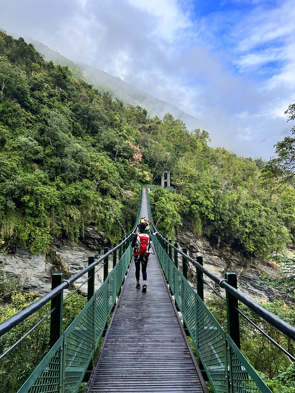
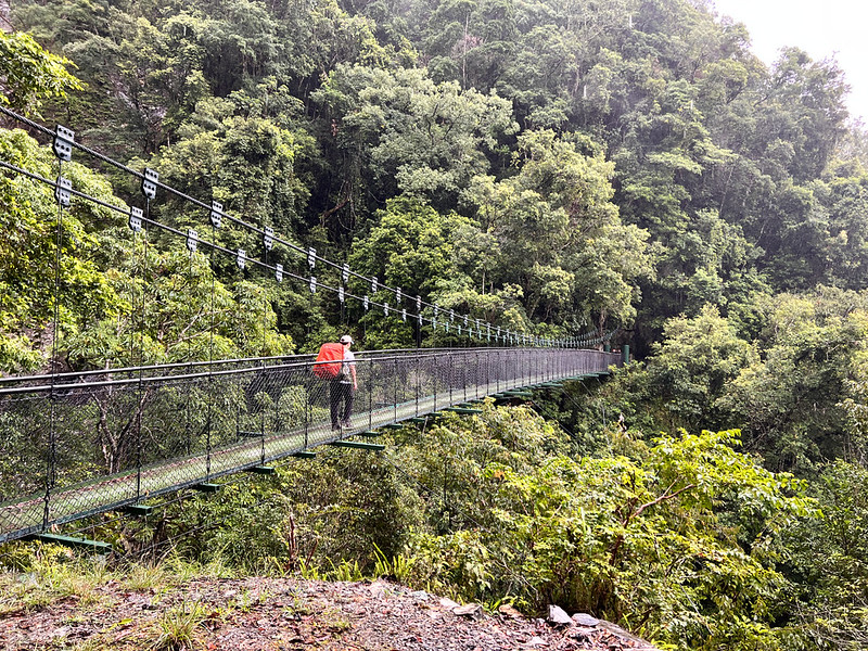
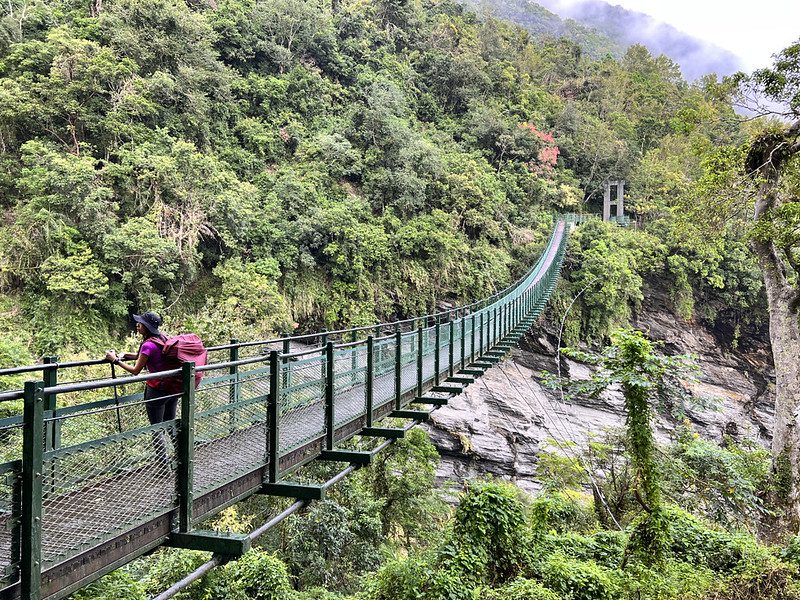
- You will pass 6 suspension bridges and 4 old police stations. Those suspension bridges are not too wobbly, but crossing them might cause panic if you don't like heights.
Cabins or Campgrounds to Apply: Jiaxin Campground
- 820 meters above sea level
- This campground is at the trail's end without hiking permits and can accommodate 24. If you intend to camp here, you must apply for permits.
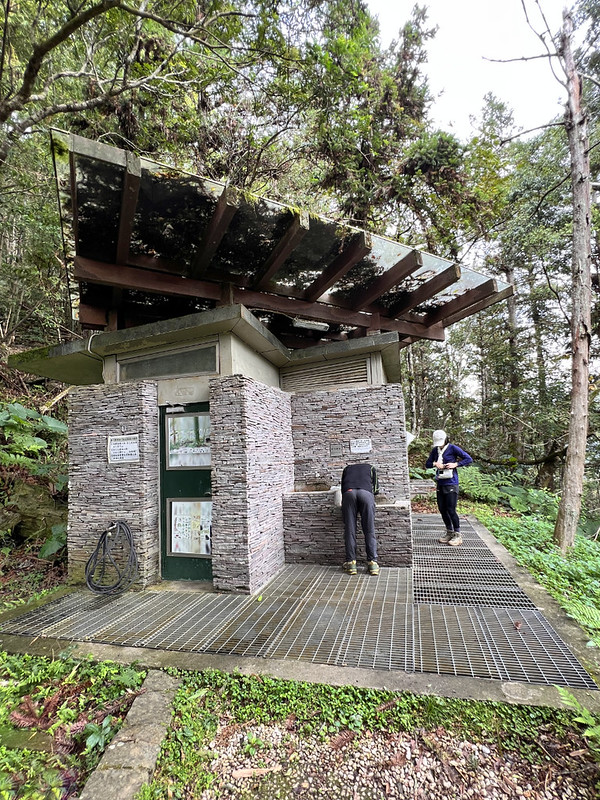
- You will find pavilions, chairs, toilets, and water here, which might be the best campground on the trails I've ever seen.
- You will find phone receptions here.
Cabins or campgrounds to Apply: Walami Cabin and campground
- 1,070 meters above sea level
- This cabin/campground is at the end of Walami Trail. The cabin and campground can both accommodate 24 people. You will find planks at the campground, too.
- Hikers need to apply for permits to stay here. Please see below how to apply for permits.
Exploring Taiwan? Save Time with the Ultimate 2025 Hiking Guide! Discover the top hikes in every city and
county across Taiwan—all accessible by public transport (bus links available). We've spent 50+ hours
researching the best trails and transit options, so you can skip the hassle and start your adventure!
Transport to the Trailhead, Map/GPX Data, and Permits to Walami Cabin
How to Get There: By Train and Bus. Then Walk.
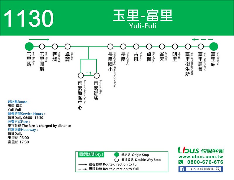
You can take the Ubus 統聯客運 1130 at Yuli Train Station
at 6:00 am and get off at the Nan'an Visitor Center stop. However, there is only one bus running between Yuli
Train Station 玉里火車站 and Fuli Train Station 富里火車站. Update: Bus 1130 seems no longer running in 2024.
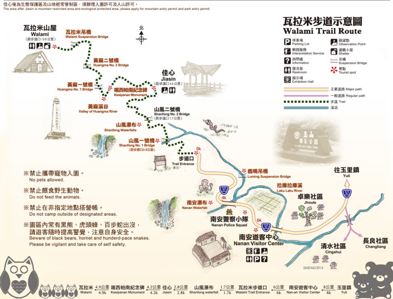
After getting off at Nan'an Visitor Center, the distance from here to the Walami Trailhead is 6 km (3.75
miles). So, the total distance from Nan'an Visitor Center to Jiaxin and back is 21 km (13 miles), and it's
mostly flat and easy to walk.
You will pass Nan'an Waterfall, and you can go there to take a look.
How to Get There: By Cycling
Another option is to rent a bike in Yuli Township 玉里鎮 and cycle to Walami Trailhead, which takes less than 1
hour to arrive.
How to Get There: Driving
If you plan to drive, please use this map for navigation.
You can download a PDF map from the Yushan National
Park website.
GPX Track
Route map for Walami Trail Updated by Anusha Lee on plotaroute.com
Click Menu in the map to download, print, or share the map.
You can see more options after clicking the Play button.
Click to change the speed to meet your condition.
You can see more options after clicking the Play button.
Click
 to change the speed to meet your condition.
How to Apply for Jiaxin Campground and Walami Trail Permits
First, go to the Hike Smart Taiwan Service's the "Apply for Park Permit" page and click "Yushan National
Park Headquarters".
Please remember to send your application to Hike Smart Taiwan Service 臺灣登山申請一站式服務網 between 7:00 -
23:00 (GMT+8).
Since "Hike Smart Taiwan Service" has been improved and made more straightforward, I have only included a short
video to help you understand how to use the website.
Check-in at Nan'an Visitor Center
If you apply for the Walami Cabain hiking permit, remember to self-check at the Nan'an Visitor Center. For local
Taiwanese, we swipe our ID cards.
But for those who apply with passports, ARC or APRC, or forgot to bring their Taiwanese Identification Cards, you
have to check in with the staff during their office hours from 8:00 to 17:00.
Walami Trail Itinerary: An Easy Hike Through Forests, Suspension Bridges, and History
Day 1 Brief Itinerary: Walami Trailhead (0 km, 450 meters above sea level) ➔ Shanfong (Shanfeng)
Police Station and Suspension Bridge No. 1 ➔ Shangfong Waterfall junction (1.7 km) ➔ Shanfong
Suspension Bridge No. 2 ➔ Jiaxin Police Station/campground and junction to Istasipal Family slate houses
(4.5 km, 820 meters above sea level) ➔ Shark Head Rock ➔ Huangma Police Staton ➔ Kesipanan
Monument ➔ Huangma Suspension Bridge No. 1 ➔ Huangma Suspension Bridge No. 2 ➔ Walami
Suspension Bridge ➔ Walami Cabin/campground (13.6 km, 1,070 meters above sea level)
Day 2 Brief Itinerary: take the same way back to the trailhead.
The Risk of Landslide
I did this hike in May 2019 and have always wanted to do it again. Finally, I did it again. While this trail
seems easy and enjoyable, there are still hidden dangers.
Our guide, Yammi 雅葳, held this hike in October 2022. They witnessed a landslide right before their eyes when
they were about to hike near the trailhead.
Before you go, please check the Trail status on the Yushan National Park's website to
make sure it's open.
Day 1: A Lovely Trail with Many Suspension Bridges
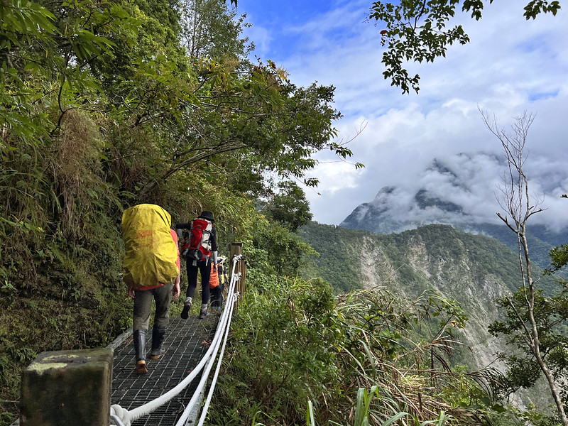
07:50 We started our hike and soon saw our first old police station, Shangfong
Police Station. There's not much left except for the foundation.
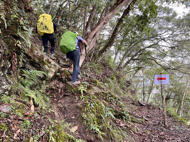
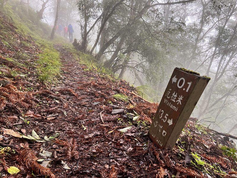
Walami Trail is well-marked. You will see signages like this telling you how far you have gone.
Within a few minutes, we reached the first suspension bridge: Shanfong Suspension No. 1. There is a deck on the
other side of the bridge, and you can enjoy the view.
08:21 I passed the junction to Shanfong Waterfall at 1.7 km. If you only reach
Jiaxin for this hike, I highly recommend checking this waterfall out. Just follow the steep steps, and you will
see the waterfall.
Soon, we reached our second suspension bridge, Shanfong Bridge. Unlike most bridges here, Shanfong Bridge's
original structure, which is also part of the old trail, was kept.
Most of the trail is wide and easy to hike, but there are some cliffs and creeks to cross.
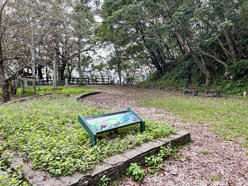
A Great Place to Enjoy and Take a Break: Jiaxin Police Station
09:32 We reached Jiaxin Police Station, which is also the end of the trail for
those who don't have permits. After climbing up the stairs, you will see an expansive, flat area with toilets
and pavilions, which is also a perfect campground. Hikers also need to apply for permits if they want to camp
here.
We took a long break at Jiaxin Police Station. The junction to see the Istasipal Family slate house that belongs
to the Istasipal family is close to Jiaxin Police Station.
We decided to visit this house on the way back to the trailhead. Visiting the Istasipal family house requires
permits, too.
10:17 A landslide disrupted the trail at 5.5 km. The Yushan National Park made a
slight detour to avoid that section.
10:29 We reached the famous Smiling Shark Rock.
11:11 Our third old police station, Huangma Police Station. We had a 30-minute
lunch break.
11:56 We reached the Kesipanan Commemorative Monument 喀西帕南紀念碑 at 8.7 km.
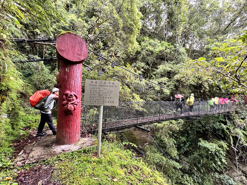
12:13 We reached the fourth suspension bridge, Huangma Suspension Bridge No. 1,
at 9.5 km.
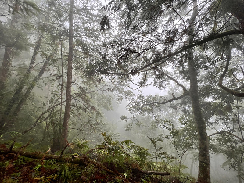
When I was crossing the bridge, the last few patches of blue were already wiped away from the sky. Instead, the
fog gradually overtook the forest, making our surroundings look mysterious.
12:29 The fifth suspension bridge, Huangma Suspension Bridge No. 2.
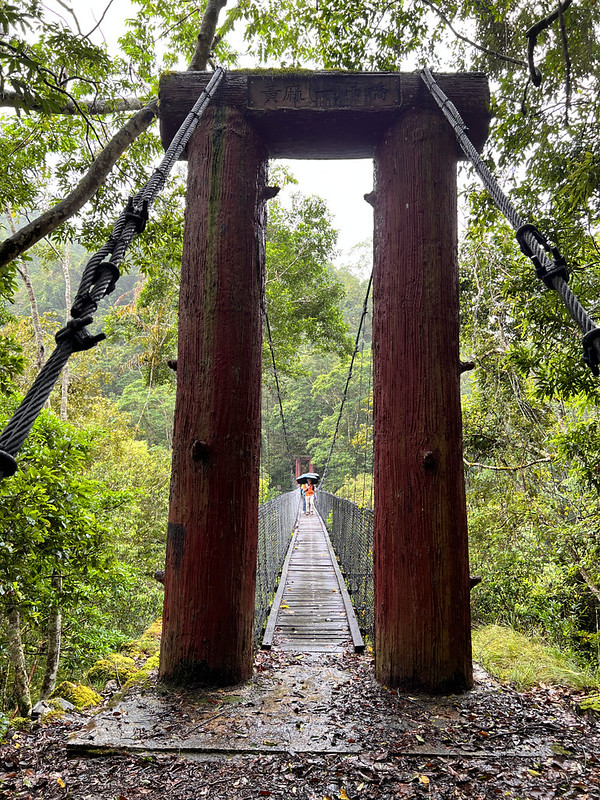
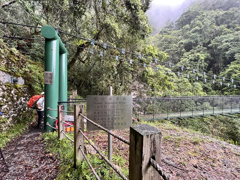
13:06 We crossed the Walami Suspension Bridge. When you see this bridge, it
means Walami Cabin can be reached in around 30 minutes.
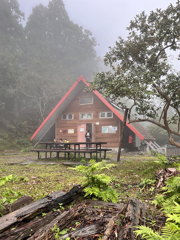
Walami Cabin: A Cute Building Covered in the Fog, and Be Aware of Bears
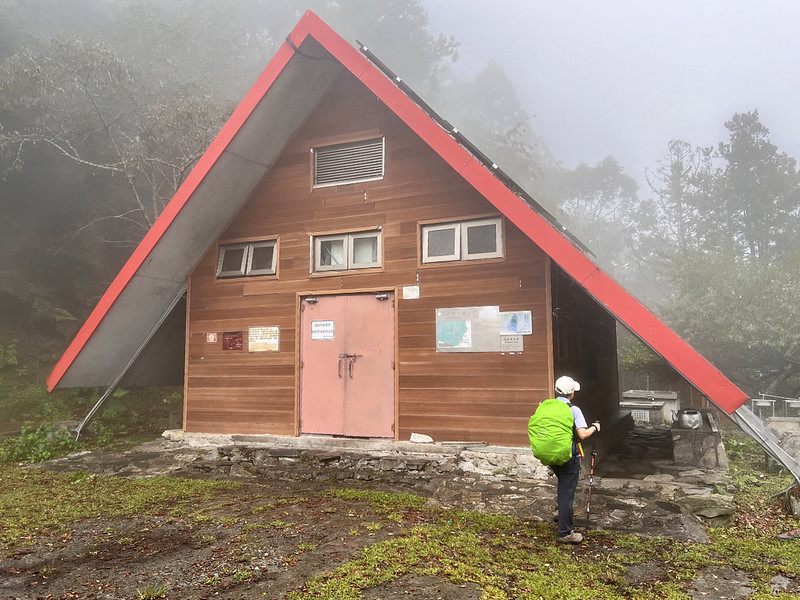
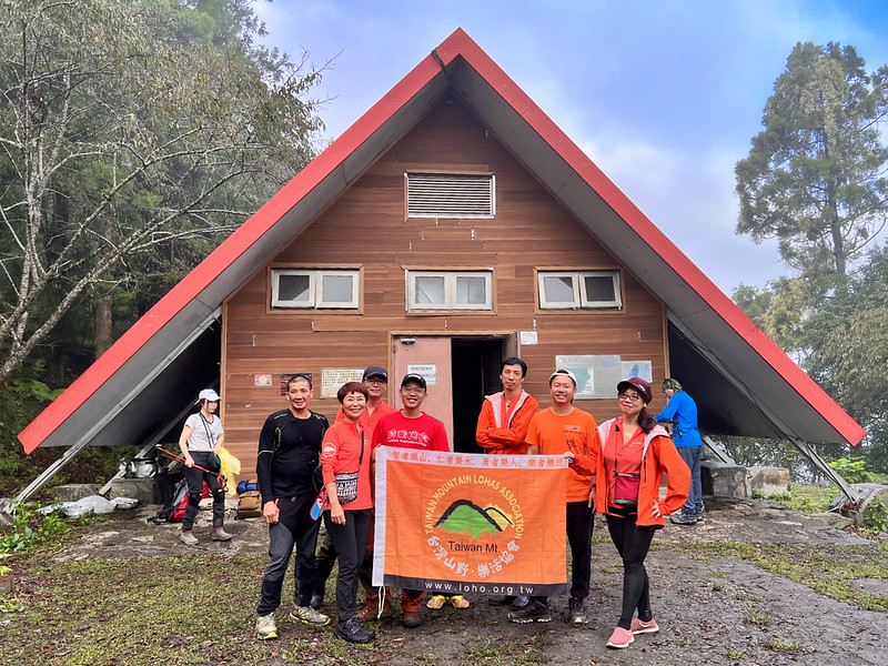
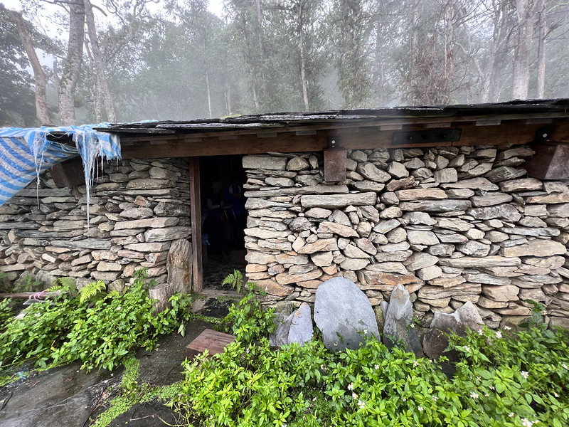
13:39 I arrived at the Walami Cabin! This cabin was built on the old Juei Police
Station. Juei means ferns in Chinese. The indigenous Bunan people called this place Warabi, which was close to
the Japanese pronunciation of ferns. That was where the name Juei came from.
It was still early after I pitched my tarp. When I first did this hike in 2019, it was also my first time
sleeping under a tarp, and I have fallen in love with this setup ever since.
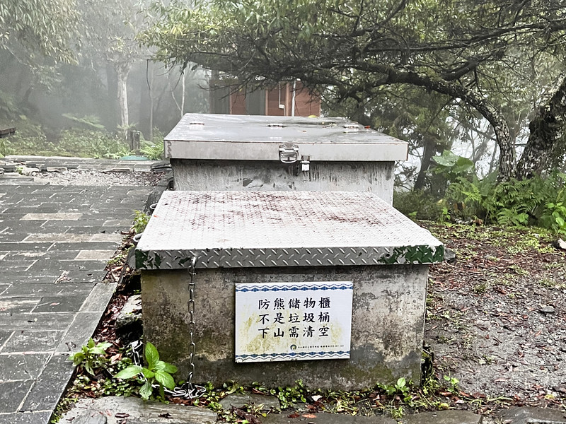
While wandering around, I noticed something unusual behind the cabin. I know bear-proof containers are common on
trails in the U.S., but I never thought we had these in Taiwan, too. Several sightings of Formosan Black Bears
are at the Yushan National Park and Siangyang Forest Recreation Area.
It's not allowed to cook inside the cabin, but hikers will find places to use stoves on both sides of the cabin.
Our guides helped us prepare the dinner.
This cabin is a popular destination among hikers, and it's easy to hike. Therefore, expect crowds and noise
here. Lucky for us, the noise died down quickly, and we could get a decent sleep.
Day 2: Returned to the Trailhead and Visited the Istasipal Family Slate Houses
07:13 We left Walami Cabin after getting everything ready. The weather was still
cloudy and misty, but it suited this trail well.
08:38 We returned to Kesipanan Commemorative Monument.
10:07 We reached Jiaxin Police Station and left our backpacks to see the
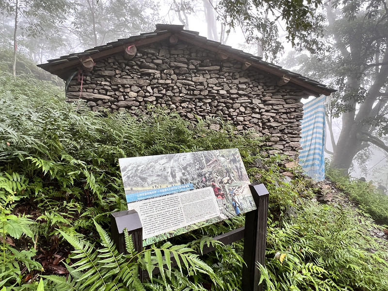
Istasipal Family houses. It was steep from the junction to the stone house. Imagine carrying all the stones down
there and building homes.
Within 5 minutes, we arrived at the stone houses. There are signs to help us understand the history and ritual
of the Istasipal Family. We stayed there for a while to see the details of the houses.
10:28 We got back to the junction and resumed our hike.
12:02 We returned to the trailhead and finished the hike.
About Walami Trail, Batongguan, and Formosan Black Bears
Batongguan Traversing Trail
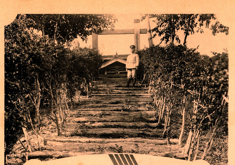
The "Batongguan Trail" in Taiwan, finished in 1921 during the Japanese era, was a significant part of Japan's
indigenous control policy and efforts to connect eastern and western Taiwan. Now part of Yushan National Park,
this trail stretches approximately 96 km across the Central Mountain Range, from Dongpu in Nantou County to
Hualien's Shanfong Trailhead.
The trail, especially prominent during Japan's indigenous coerce peak, is dotted with historical sites like
police stations in the mountains, fortresses, and indigenous children's education centers, reflecting Japan's
extensive force in the area. After the establishment of Yushan National Park, there has been a concerted effort
to restore and research this historically significant path.
The western section of this trail, west of the Dashuiku 大水窟 area, is more intact and popular among hikers,
particularly the stretch from Dongpu to Batongguan, due to its better condition.
In contrast, the east of Dashuiku, though recently improved with repaired suspension bridges and new mountain
cabins by the park authorities, remains challenging due to its length and damage from frequent typhoons,
including several collapsed sections, making it a highly demanding long-distance hiking route. Source: Yushan National Park
Walami Trail: Follow Me
Completed in 1920, the Walami section of the trail in Taiwan is part of the first phase of the eastern section
of the Batongguan Trail, designed to follow the isoeights to avoid steep slopes, resulting in a trail with
gentle undulations. The area, known by the Japanese as "Warabi," is believed to be named after the abundance of
ferns there.
However, Lin Yihong 林一宏, the author of the book "82 Kilometers 145 Meters: The History of the Eastern Segment of
the Batongguan Trail 八二粁一四五米:八通關越道路東段史話," suggests that the name might originate from the Bunun language
"maravi," meaning "everyone following someone to do something." The Japanese, finding its pronunciation similar
to "Warabi," named the place as such, which is now transliterated as "Walami."
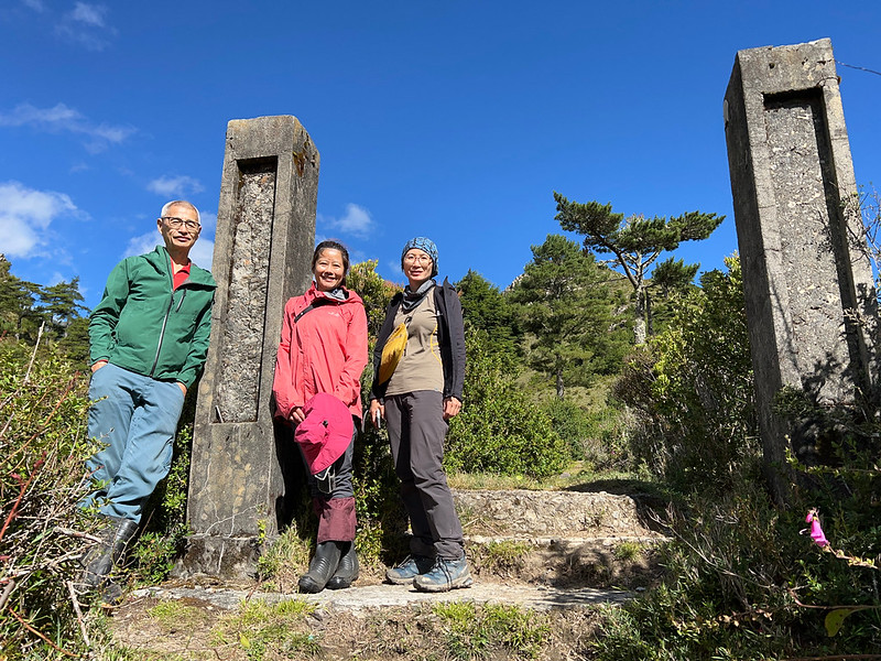
Near the Huangma Suspension Bridge No. 1 stands a 2.4-meter-tall monument, marking the site of a significant
conflict between the indigenous Bunun people and the Japanese. In 1914, the Japanese, in an attempt to
confiscate firearms, brutally interrogated the leader of the Kesipanan community, inciting widespread anger
among the Bunun people.
On May 12, 1915, nearly a hundred Bunun warriors stealthily surrounded the Kesipanan Police Station, cut off the
telephone lines, beheaded 10 Japanese policemen, and set fire to the buildings in what is known as the
"Kesipanan Incident."

This event had far-reaching effects, triggering a series of anti-Japanese movements in the Rakuraku River 拉庫拉庫溪
area, which eventually led to the Japanese government's significant investment in building the Batongguan Trail.

Source: Batongguan Traversing Trail
Istasipal Family Slate Houses
Located along the Walami Trail, Jiaxin has been the ancestral territory of the Istasipal family of the Bunun
people since the 18th century. The Bunun people established homes and formed villages on both sides of the
Rakuraku (Lakulaku) River 拉庫拉庫溪, engaging in slash-and-burn agriculture, hunting, and gathering until 1935, when
they were forcibly relocated to the plains by the Japanese colonial government.
Subsequent surveys in the Rakuraku River basin uncovered 55 ancient Bunun building clusters, totaling 284
dwellings and workshop remains.
At that time, there were about 12 Bunun villages in the river basin, comprising approximately 126 households and
1,434 Bunun people. Influenced by the group relocation policy, these Bunun people were forced to move to the
foothills near the Hualien-Taitung Valley, including the Istasipal family from the Jiaxin tribe.
In 2017, the Hualien County government recruited members of the Istasipal family and other local Bunun people to
form a 20-person work team. They reconstructed traditional Bunun slate houses on the original site of their
home, adhering to traditional Bunun architectural styles and methods while meeting contemporary building
standards.
Those culturally significant buildings were completed on December 3, 2018. In 2019, the Hualien County
government officially recognized and registered this site as a cultural landscape, preserving a piece of Bunun
heritage and history.
Please show respect when you visit. because the ancestors of the Istasipal family were buried under the house.
Source: Hualien County
The Formosan Black Bears' Home
The Formosan black bear, a subspecies of the Asian black bear (Ursus thibetanus formosanus), is Taiwan's only
native bear species and is classified as an endangered wild animal. With an estimated population of only 200 to
600 remaining in Taiwan, these bears are a critical part of the island's biodiversity.
They are primarily forest-dwelling animals with a wide range of activity, mainly found in the Central Mountain
Range, with sparse sightings in the Coastal Mountain Range. Their habitat spans altitudes from 300 to 3,700
meters, often within and around national parks and protected areas.
Yushan National Park, known for its rich wildlife resources and habitats, is one of the essential conservation
areas for the Formosan black bear. This park boasts a higher density and genetic diversity of the bear
population compared to other regions.
Long-term research suggests that nearly 300 bears live within the park, making it the primary core population on
the island and a crucial habitat for their survival.
Data from radio-tracked Formosan black bears with transmitters reveal that these bears have an expansive range
of activity, varying from 27 to 202 square kilometers. In some cases, this range is equivalent to one-fifth of
Yushan National Park's total area. This information underscores the significance of large, protected
environments for conserving these majestic animals.
Get Free Guides on Public Transport and Applying for Permits. Or Hire Me!
Free Bus Guides to Hike Popular Mountains in Taiwan
Taking buses to hike in Taiwan can be tricky if you don't read Chinese. Therefore, I've made several public transport guides to help you get to the trailheads. Or click the
image below to see more details.

